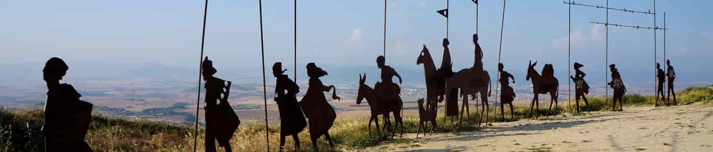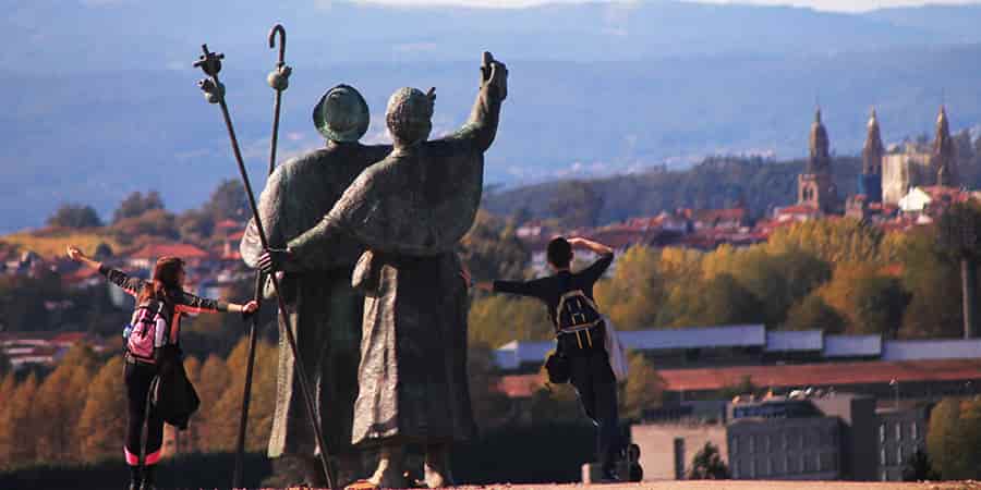
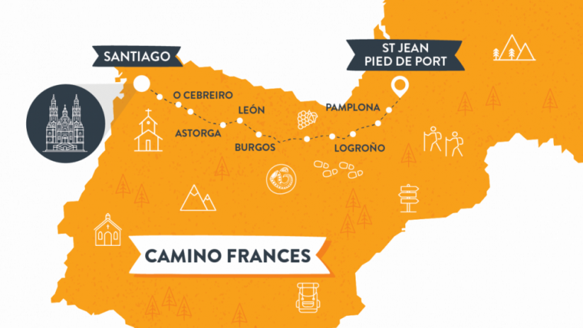
The Camino Frances runs approximately 770km from Saint-Jean-Pied-de-Port in France to Santiago de Compostela in Spain, crossing the Pyrenees and four Spanish regions in around 30–35 days of walking. The map below shows the full route, its main stages, and the key towns along the way, so you can plan your Camino at a glance.
The Camino Frances or French Way is well known for many films, books, and documentaries.
The French Way or Camino Frances is the most famous and popular of the Camino de Santiago routes, attracting nearly 45% of all Camino pilgrims.
Starting in St Jean Pied de Port, at the foot of the Pyrenees, the Camino Frances makes its way across Northern Spain taking pilgrims all the way to Santiago de Compostela, in Galicia, and its spectacular cathedral.
The vineyards of La Rioja, Burgos Cathedral, Ponferrada Castle, and the mountains of O Cebreiro are some of the most magnificent sights along this epic 770 km Camino route.
Table of contents
Camino Frances Map
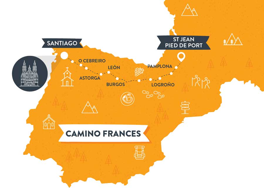
It should take just over a month to complete the Full Camino Frances route on foot but you can also choose to start at different points along the way.
The most popular starting points on the Camino Frances are: Sarria, St Jean Pied de Port, Leon, O Cebreiro and Ponferrada. You can also cycle the Camino Frances in 8 days.
Key Facts
- Start: Saint-Jean-Pied-de-Port (France)
- End: Santiago de Compostela (Galicia, Spain)
- Total distance: ~770 km
- Typical duration: 30–35 days (full route) / 6–7 days (last 100km from Sarria)
- Regions crossed: Navarre, La Rioja, Castile and León, Galicia
- Most popular starting point: Sarria (last 100km)
- Difficulty: Moderate
- UNESCO World Heritage Site (since 1993)
What does the Camino Frances map show?
The Camino Frances map traces the entire French Way from Saint-Jean-Pied-de-Port to Santiago de Compostela. It highlights the main stage towns — Pamplona, Logroño, Burgos, León, Ponferrada and Sarria — as well as iconic landmarks such as the Alto del Perdón, Cruz de Ferro and O Cebreiro.
Pyrenees
After you leave St Jean Pied de Port you will walk across the Pyrenees Mountains. This is the most challenging section of the Camino Frances but also one of the most beautiful. The views are worth the effort of the climbs.
Pamplona
Most people will know Pamplona from the famous San Fermin festival which includes the ‘running of the bulls’. The city itself is well worth a visit even outside of festival time with colourful streets, friendly locals and delicious pintxos.
Rioja Region
This is one for the wine lovers out there. Around Logrono you will find the Rioja Region where you will be surrounded by vineyards.
Burgos
Burgos is home to one of the most magnificent Cathedrals in Spain. This is a great warm up for a trip to Santiago!
Leon
Leon is another town with a gorgeous cathedral, famed for its Gothic architecture and magnificent stained-glass windows. Enjoy dinner in the old town followed by a glass of local wine or beer.
O Cebreiro
This spot is unique due to its circular granite homes with thatched roofs. You will be nearing the end of your Camino at this point and you are reminded of all of the footsteps that will have passed this town throughout history.
Santiago de Compostela
This is the last stop on the Camino Frances. Marvel at the atmosphere in front of the famous cathedral and spend some time exploring the walled streets of the old town. Santiago is one of the prettiest cities in Europe!
Stages – Main Sections
The Camino Frances is commonly divided into seven main sections. The table below shows each section and its approximate distance, so you can see the full route from Saint-Jean-Pied-de-Port to Santiago at a glance.
| Section | Approx. distance |
|---|---|
| Saint-Jean-Pied-de-Port → Pamplona | 65 km |
| Pamplona → Logroño | 90 km |
| Logroño → Burgos | 120 km |
| Burgos → León | 180 km |
| León → Ponferrada | 110 km |
| Ponferrada → Sarria | 100 km |
| Sarria → Santiago | 115 km |
Which part of the Camino Frances should I walk?
If you have limited time, the last 100km from Sarria is the most popular option and qualifies you for the Compostela certificate. For a taste of the Pyrenees, the first stage from Saint-Jean is ideal, and those with more time can walk the full Camino Frances end to end.
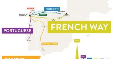
Check out our Downloadable Camino De Santiago Map for our other Camino routes.
For more information about the Camino Frances, other Camino de Santiago routes or to book your Camino trip, contact our travel specialists

FAQs: Camino Frances Map and Route
The Camino Frances is approximately 770km from Saint-Jean-Pied-de-Port to Santiago de Compostela, usually walked in 30–35 days.
It starts in Saint-Jean-Pied-de-Port in the French Basque Country and ends at the cathedral in Santiago de Compostela, Galicia.
The full route is typically divided into around 33 daily stages, or seven main sections between the key cities.
For walkers, the last 100km from Sarria to Santiago is by far the most popular section, as it’s the minimum distance required to earn the Compostela certificate. For cyclists, the most popular starting point is Ponferrada, around 200km from Santiago — the minimum distance needed to receive the Compostela by bike.