Camino de Santiago Map to Plan your Camino journey
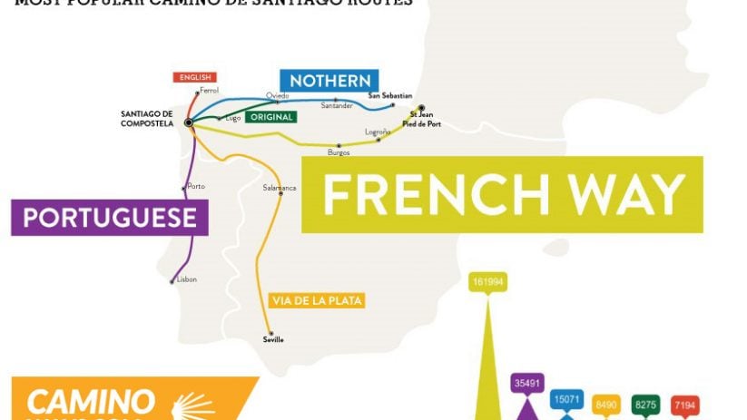
What does the Camino de Santiago really look like? Where does it begin? How far does it go? A map of the Camino de Santiago can be both inspiring and revealing. For centuries, pilgrims have followed these ancient routes across Europe to reach Santiago de Compostela. But it’s not just one path – it’s a whole network of trails, each with its own story, landscapes, and traditions.
This page explores the many paths to Santiago through detailed maps, showing the main Camino routes, key stages, and popular starting points. From the well-known Camino Francés crossing northern Spain to lesser-travelled trails like the Camino Portugués or the Camino del Norte, a good map helps bring the journey to life before you even set foot on the trail.
Whether you’re planning your first pilgrimage or looking to explore new sections, maps are an essential tool. But how accurate are they? Are distances realistic? Do they include all facilities like accommodation and water stops? And how do you choose the right map for your needs—paper, digital, or GPS?
Below, you’ll find route overviews, elevation profiles, and tips on how to read Camino maps effectively. Let’s look closely at what these trails look like, where they start, how they connect, and what surprises might lie along the way. Because every step on the Camino starts with understanding where you’re going—and why.
Walking (or cycling) an entire Camino route can sometimes take a few months, depending on the way. For some people, this is unmanageable. However, to achieve your Compostela, you only need to walk 100km or cycle 200km into Santiago. This can be done in around eight days in most cases.
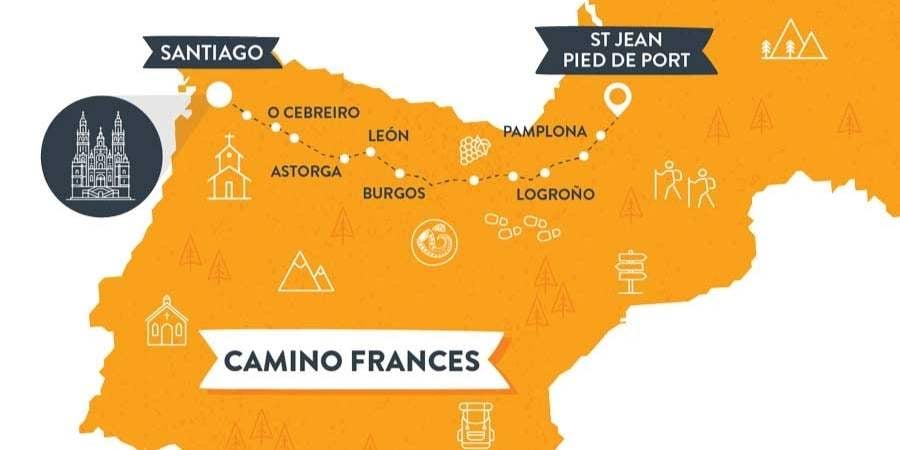
The Camino Frances is the Most popular Camino Ways, and you will have seen it in many films, documentaries, and TV shows.
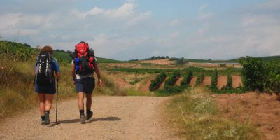
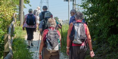
The route begins in France at Saint-Jean-Pied-de-Port. The terrain on the French Way is the perfect blend of mountainous, flat, and rugged. It truly is the best of all worlds for hikers. The most popular section of the Camino Frances s the last 100km from Sarria to Santiago de Compostela. That is because pilgrims can qualify for their ‘Compostela’ or certificate of completion after they walk the last 100km into the sacred city.
This walk is a genuinely sociable Camino, and often pilgrims will return with friendships that last a lifetime. Due to the popularity of this section, it is also very well-serviced. You’ll find many local cafes, bars, and restaurants along the route serving local delicacies. Don’t forget to try ‘Pulpo’ in Melide, which is Octopus with a Galician twist.
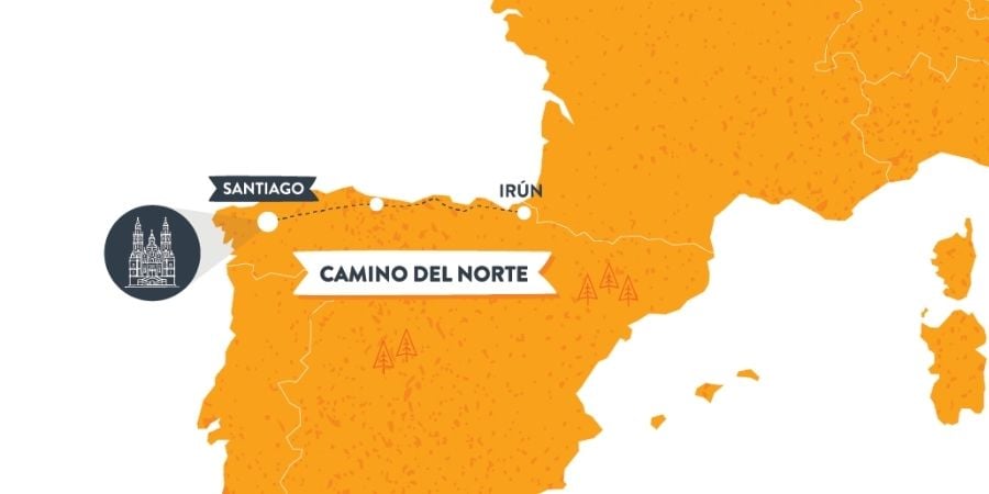
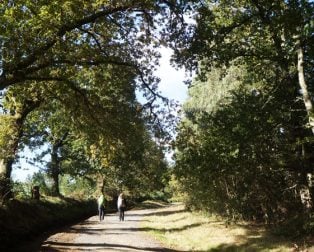
The first two sections of the Camino del Norte will introduce you to the delights of the Basque Country. The first section from San Sebastian to Bilbao is mainly inland and a bit more challenging, but the country landscapes are stunning. In contrast, section two takes you from the city of Bilbao, where you should sample its famous ‘pintxos’, to elegant Santander. Along the way, you will stop in seaside towns full of Northern charm and excellent regional delicacies.
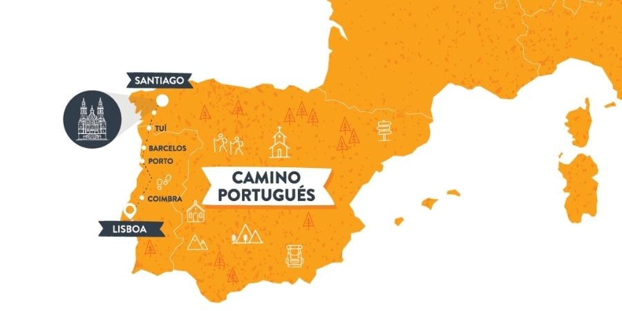
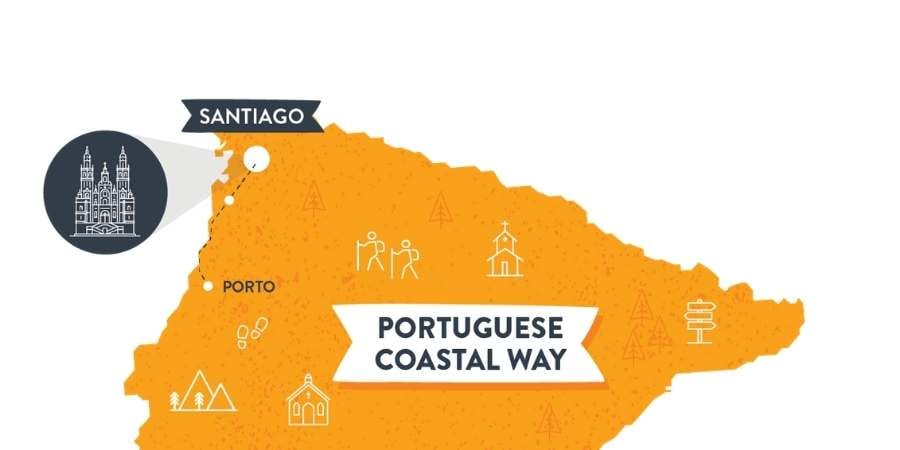
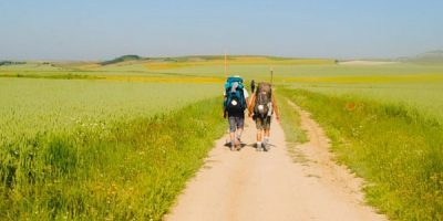
The Camino Portugues follows the central route from Lisbon to Santiago. The entire way takes up to 4 weeks to complete by foot.
This is a fabulous alternative to the Camino Frances, and you will enjoy a more rural and quiet Camino.
Many pilgrims start the route in Porto, which takes roughly two weeks. The Portuguese Coastal Camino from Porto is quickly becoming the second most popular route on The Camino de Santiago. One of the main reasons for this is that it blends a scenic coastal landscape with interior woodland and countryside. The way is a variant of the Camino Portugues (below), also loved within the Camino community.
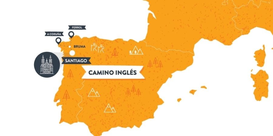
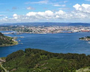
The Camino Ingles traditionally has two starting points, from Ferrol and A Coruna.
Starting from Ferrol, you will walk 100 km to Santiago while enjoying coastal views and pretty Spanish towns.
Starting from A Coruna, you will walk just 75 km to Santiago. This route is usually combined with another way in Ireland or the UK and is traditionally called the Celtic Camino. You will need to walk 100 km to Santiago to get your Compostela.
Roland Monsegu is the founder and CTO of CaminoWays.com and Toureo Reservation Systems. Originally from France, Roland has over 20 years of experience in the travel industry, organising bespoke treks across multiple continents.
In 2011, he founded CaminoWays.com, offering walking and cycling holidays on the Camino de Santiago and other trails. His innovative approach and leadership have positioned the company as a market leader.
Roland is also an adventurer, having trekked the Camino, climbed Kilimanjaro, and hiked in Nepal and Japan. His personal experiences enhance the unique travel experiences provided by CaminoWays.com.
He also launched the Camino for Families program, offering tailored packages for families. Roland's commitment to innovation and customer satisfaction drives the success of his ventures


My first time having a look. Thanks for the great intro!
Nice