A Unique Region on the Chemin du Puy
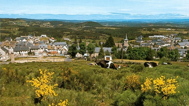
The Aubrac region is a stunning area in the southern Massif Central of France, located along the famous Chemin du Puy, the French equivalent to the popular Camino de Santiago. It extends across three départements—Cantal, Aveyron, and Lozère—and belongs to three different régions: Auvergne, Midi-Pyrénées, and Languedoc-Roussillon.
A Volcanic and Granitic Landscape
Aubrac sits on a vast 1,500 km² plateau, shaped by ancient volcanic activity and composed mainly of volcanic and granitic rock. The volcanic eruptions, which occurred between six and nine million years ago, were of the Hawaiian type, producing fluid lava flows rather than distinct volcanic cones. As a result, the landscape lacks individual volcanoes, creating a unique, rolling terrain. The eastern part of the plateau is predominantly granite, contrasting with the volcanic formations found elsewhere.
A High-Altitude Plateau with Stunning Views
The Aubrac plateau has an average altitude of 1,200 metres, with its highest peak at 1,469 metres at Signal de Mailhebiau in the south. The entire area was shaped by glaciers during three different ice ages, leaving behind breathtaking natural features.
Glacial Lakes and Dramatic Valleys
The region is home to four beautiful glacial lakes:
- Lac des Salhiens
- Lac de Saint-Andéol
- Lac de Souveyrols
- Lac de Born

In the south, the highest peaks of Aubrac overlook the Lot Valley, which sits 1,000 metres below, offering dramatic contrasts between rugged highlands and deep valleys.
Plan Your Journey on the Chemin du Puy
If you would like to learn more about our routes, please don’t hesitate to contact us. If you already know which route you would like to walk, you can customise your trip with our Camino Planner.